
Who we are

Serving all sorts of clients from Cape Ann, Northeastern Massachusetts and beyond since 1994
Richard G. Loud, owner – Mass. PLS #37561
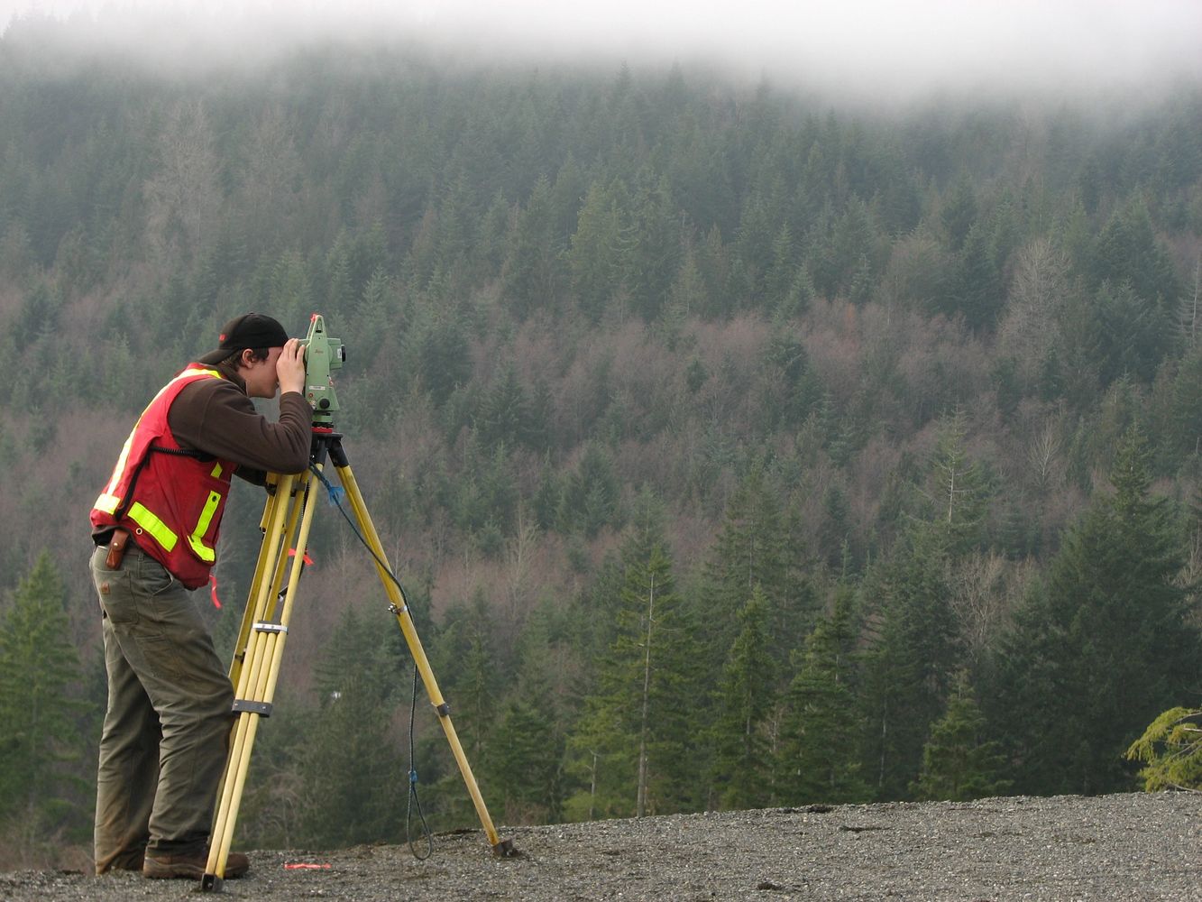
“We are a two-person company, so as license-holder, I directly perform all phases
of your survey project: research, field work, computations, analysis and drafting.”
Boundary markers installed

Magnetic (locator-detectible) spike set in ledge, stone wall, or concrete surface

5/8” iron rod with cap in earthen ground, set flush in lawn areas for safety

3 or 4 foot long granite bounds, 6" by 6" at top. Other sizes available.
Many types of plans prepared
Boundary plans
Topographic and detail plans
Topographic and detail plans
Divide land, reconfigure lot lines, or draw a parcel for the first time; ALTA, Land Court plans, etc.
Topographic and detail plans
Topographic and detail plans
Topographic and detail plans
Support for architects, engineers, enviornment scientists, landscape designers, etc.
Permit-specific plans
Topographic and detail plans
Permit-specific plans
Building Inspector, Conversation Commission, Waterways license, etc.
Permit-specific plans


Construction layout performed


I also prepare FEMA elevation certificates. For any survey task that you require, please contact me.
Licensed – Insured – Free estimates – call 978-282-0443, or email countylandsurveys@comcast.net
County Land Surveys Inc. – PO Box 543 – Gloucester, MA 01931-0543 – (T) 978-282-0443 (F) 978-283-9253
Copyright © 2022 County Land Surveys Inc. - All Rights Reserved.
Powered by GoDaddy